Datei:Kentucky.jpg: Unterschied zwischen den Versionen
Zur Navigation springen
Zur Suche springen
(Landkarte des US-Bundesstaates Kentucky - aus de.wikipedia importiert This map was obtained from an edition of the National Atlas of the United States. Like almost all works of the U.S. federal government, works from the National Atlas are in the public ) |
(kein Unterschied)
|
Aktuelle Version vom 30. Juni 2011, 21:36 Uhr
Landkarte des US-Bundesstaates Kentucky - aus de.wikipedia importiert
This map was obtained from an edition of the National Atlas of the United States. Like almost all works of the U.S. federal government, works from the National Atlas are in the public domain.
Dateiversionen
Klicke auf einen Zeitpunkt, um diese Version zu laden.
| Version vom | Vorschaubild | Maße | Benutzer | Kommentar | |
|---|---|---|---|---|---|
| aktuell | 21:36, 30. Jun. 2011 | 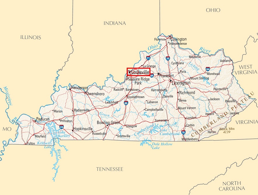 | 883 × 666 (180 KB) | Reimmichl-212 (Diskussion | Beiträge) | Landkarte des US-Bundesstaates Kentucky - aus de.wikipedia importiert This map was obtained from an edition of the National Atlas of the United States. Like almost all works of the U.S. federal government, works from the National Atlas are in the public |
Du kannst diese Datei nicht überschreiben.
Dateiverwendung
Die folgenden 2 Seiten verwenden diese Datei: